



Description
Explore the Smokies with the Ultimate Hiking Trail Map
Great Smoky Mountains National Park — Waterfalls, Ridges & Remote Trails Mapped in Detail
Folded for your pack. Powerfully detailed on the trail. Built for day hikers, thru-hikers—and smart retailers.
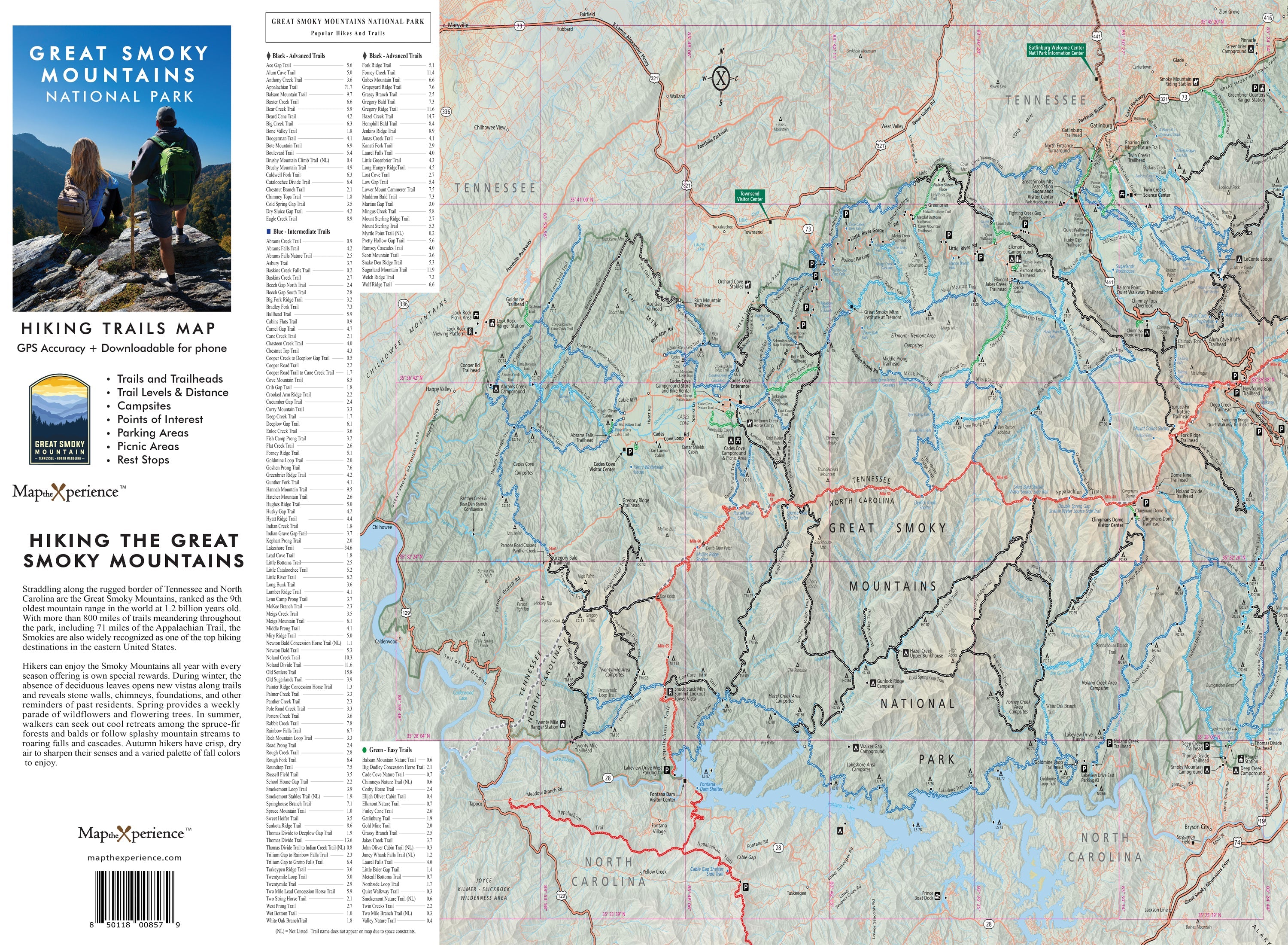
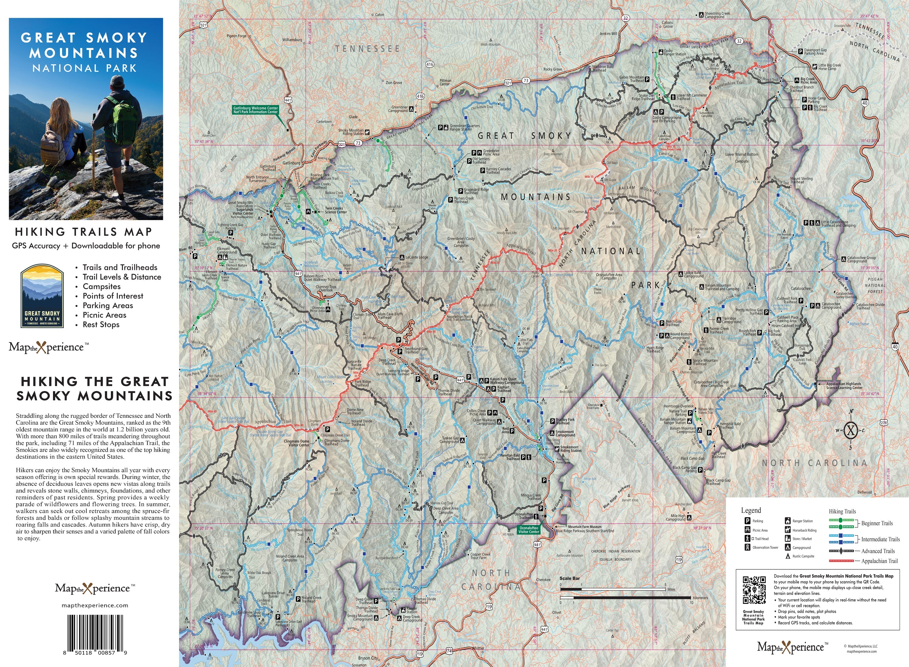
Ready to go farther, climb higher, and experience the wild beauty of Appalachia’s crown jewel? The Great Smoky Mountains National Park Hiking Trail Map is a large-format, trail-focused guide designed to help you navigate Great Smoky Mountains National Park with confidence. From the panoramic heights of Clingmans Dome and Mount Le Conte to the cascading waters of Abrams Falls and the quiet backcountry of Deep Creek, this map was made for hikers who want more than just a walk in the woods.
Designed with real GPS data and local expertise, this map delivers the big-picture context you need for trip planning—along with the trail-level detail that matters when you’re standing at the trailhead deciding where to go next.
Whether you’re taking the family on a waterfall loop or heading deep into the backcountry for a multi-day trek, this map equips you to hike with clarity, purpose, and confidence.
THIS MAP IS SOLD OUT. TO PURCHASE PLEASE VISIT MAST GENERAL STORES