


Description
Fish the Blue Ridge with the Ultimate Public Trout Waters Map
Western North Carolina — From Big Rivers to Hidden Headwaters
Pocket-sized in your vest. Powerfully detailed on the water. Built for passionate anglers—and smart retailers.
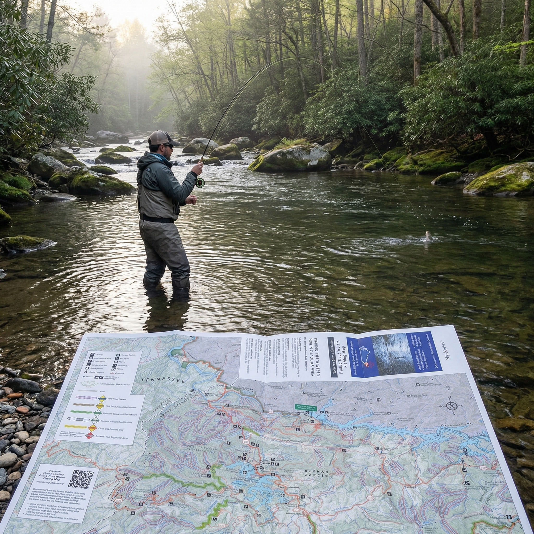
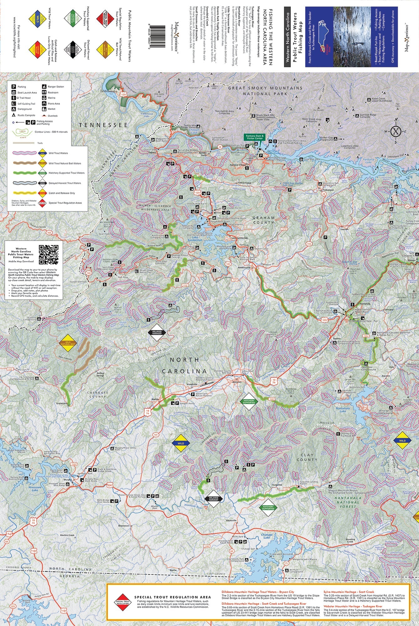
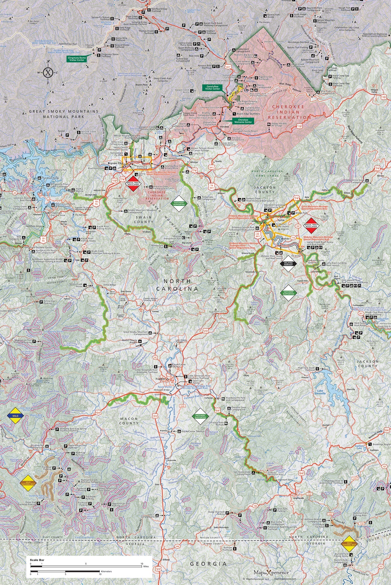
Ready to explore deeper and fish smarter in the heart of the Southern Appalachians? The Western North Carolina Public Trout Waters Map is your essential guide to one of the richest and most diverse trout fisheries in the East. From the Tennessee border to the high-country headwaters of the Tuckasegee, this waterproof, field-tested map highlights the streams, rivers, and wild corners where brook, rainbow, and brown trout still thrive.
Covering Haywood, Jackson, Swain, and Transylvania counties, along with portions of Macon and Buncombe, this map brings together legendary waters like the Davidson, Nantahala, and Tuckasegee, plus dozens of lesser-known creeks tucked deep in the Blue Ridge.
THIS MAP IS SOLD OUT, HOWEVER IF YOU WOULD LIKE TO PURCHASE IT GO TO TUCKASEEGEE FLY SHOP